InRoute, a way to navigate with your iPhone and Sena!

Finally, what I've been waiting for. A reason to replace my Garmin Zumo. Which may not happen immediately, but I foresee this as a really, really great tool.

I know, I just published my Garmin Zumo 390 review but now I found what I have been searching for! An iPhone app that lets me import the GPX file I need from Furkot and then it reads the turn by turn directions into my Sena SMH10R.

This iPhone app is called InRoute Route Planner. It's a free app but it comes with optional upgrades, which I'll gladly pay for. The free version allows for up to 24 locations in a particular map I think. It's $2.99/month or $24.99 for the year if you want up to 100 locations per map. So I went ahead and bought a year. Why not? 

If I can successfully use this app for all my turn by turn navigation, then adios Garmin! Fingers crossed, as we leave for Port Jervis in the morning on a quick overnight :)

Update August 2016

I've now been using the InRoute app exclusively for the past two months. It has definitely done its job and very well, I might add. 

There are two things that I've wanted my phone to do for me; navigate and then give me turn by turn directions through my Sena SMH10R Headset so I don't have to look down or check to see what the display is showing.  Although it has some minor issues to resolve, overall its the best navigation option I've ever used. 

Back in June my husband and I ventured north to Port Jervis, NY. We left early Sunday morning and then headed up to the border as far as we felt like going. Then we grabbed a hotel for the night once we got into New York. 

Opening GPX Files

The photo above is the ambitious ride route I laid out for us. You can download a copy of the GPX file here. :)  All you have to do is either create a route on a website such as Furkot.com, save it as a .GPX and then open it easily on your iPhone (there are others I'm sure, just use whatever site or software application you want to create the GPX). (Or, alternatively you can create a route on the fly right inside the app. We'll get to that part in a bit, so keep scrolling if you want that part.) 

I use iCloud Drive (in addition to Google Drive) so all I have to do is open my file. Once you create the GPX on your desktop, you could also just email it to yourself too. Once I've found my file, I just tell my phone how I want to view it. 

inroute_openingfiles

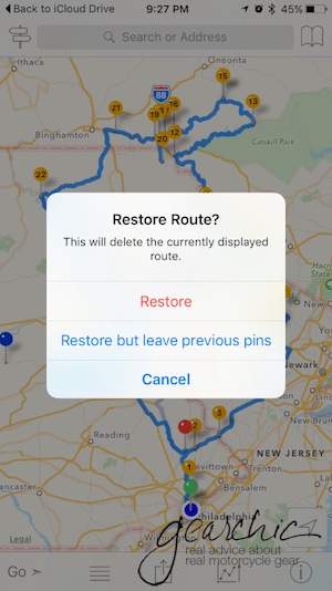
In this instance, I want it to "copy to InRoute". If I already have another route or map open, it'll ask me if I want to Restore Route. I Choose Restore. 

inroute_restore

And then voila! I have my ride route. All I have to do is hit GO and we're off. My Sena starts talking to me and I'm ready to ride. 

Creating Routes on the Fly

However, sometimes you just need to make a quick route without a computer nearby. This is my favorite feature. I can instantly create a route, tweak it and then share it with my husband so he can also lead part way. It's as simple as putting your finger exactly where your destination is. As soon as you do, it asks you if that's going to be your Start, a Waypoint or your Destination. For this example, I choose Destination. 

inroute_shamokin

But I really really really don't want to take the turnpike there. And this map much like other maps might assume you do. No Thank You. Maybe I want to visit the infamous stretch of road where I lowsided last year to see if they patched up the entire roadway or not. So I place my finger at on the road and it drops a pin. I select Waypoint.  

Now, we have a decent route!

Inroute_143

But let's just say that I want to make another stop along the way, just for fun. 

Crap. Now things are in the wrong order. No problem :) Click on the little 2Way Sign in the upper left corner. 

Now you have this handy option to Optimize Waypoint Order. SO handy. You can also rearrange points manually here too. If you select a particular point you can then delete it. 

Now that I've rearranged the order, I have a proper route. 

Then when it comes to sharing this route with the man, I just text it to him like any other image or file on my iPhone. 

The only downsides of the app that we've discovered are:

  1. It uses the Apple Maps Engine. For some reason, and I'm not quite sure why, it won't interrupt my intercom conversation with my husband to give me the directions. I have to toggle back to my phone to hear it. I'm ok with this for now, because it's a small sacrifice to have a much better app interface such as this. Google Maps and Waze don't do this, so it's definitely possible and most likely a feature they have to program into the app (something about APIs to tell the phone that it's an incoming phone call, not just music - per my mobile app developer expert husband). 
  2. The Northeast is full of roads and highways with multiple names. Look at this one for instance. You can see that Route 143 is also known as "Ontelaunee Trail". It might tell me one or the other, so I have to trust it when it tells me to turn somewhere. It doesn't always do this, but often enough that I try not to worry as much if I'm turning at the right point. 

A couple of fun features is that it offers temperature, humidity and a few other details along your route, super handy. 

Those are the main features that I use on the app. I'm sure I'll discover more as I use it further. 

Other than those two details, I don't foresee going back to the Zumo anytime soon. The only thing I still might need is a waterproof case which is easy to come by.

In order to have my phone easily accessible on the bike I purchased this Ram Universal X-Grip cellphone holder. All I had to do was take off the Garmin Mount from the Ram Arm and swap it for the X-Grip. 


Rukka Womens Orbita Gore-Tex Motorcycle Jacket

I used to call Rukka the Unicorn of motorcycle jackets, because it basically didn't exist for women in this country. It's still difficult to find except at Revzilla.com :) 

Although I had heard about them years ago, finding one in person was pretty much impossible and only available through a small dealer in the Southwest. 

Now, I have access to all the Rukka! The Orbita is a winter jacket packed with features that you will love if you're looking for a Fall/Winter/early Spring option. I'm liking the fitment, it has a nice balanced proportion, slightly broader shoulders and roomier arms (with adjustments) and a decent chest space (more than enough for me). I'm wearing a 36, which leaves plenty of room for layers without the thermal liner, which by the way is really lightweight. I would like to wear a 34 since it's snugger but the sample is 36! I would say it runs a size large compared to other European brands like Rev'it. 

The Orbita is a waterproof, Gore-Tex jacket so you don't have the mesh panels for hotter weather. There are a few vents, but not enough for hot weather I'm thinking. I'm going to give it a go in hot, warm weather and see what happens. 

In the meantime, you can find more details about this jacket on Revzilla.

Ride Report, West Virginia. Again!

At the top of Skyline Drive

At the top of Skyline Drive

What can I say? I love West Virginia. I never thought I'd say that, but when it comes to finding heavenly, twisty roads, I can't help it. 

My husband and I went on a 5 day vacation from Philly to West Virginia a few weeks ago, leaving on Sunday and returning Thursday that week. Here are a few highlights!  

Stopping somewhere in Washington DC by the Potomac on our way down.

Stopping somewhere in Washington DC by the Potomac on our way down.

When we left on Sunday, May 8th, we had a rather late start. I won't even bother to share the ride route. We pretty much slabbed  drove through Washington DC and stopped briefly to take some pictures before heading into Arlington. Since we started so late we decided to stay the night just outside DC at the Hampton Inn Gainesville-Haymarket

I'd highly recommend it, very motorcycle friendly, clean and just overall a very nice place to stay (I usually try to stay at smoke-free hotels, because I just can't stand the smell of smoking hotels). Unfortunately someone left the microwave on or something, and we had a 4:30am wake up call. Luckily, it only lasted about 20 minutes and we were able to get back to sleep. Zzzzzzz. 

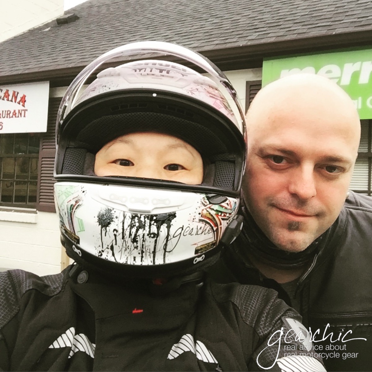
The weather was raining on and off Monday, so we headed out late and just decided to head south, towards the border of West Virginia and Virginia. Looking at the radar reports, we tried to go just below the storm paths so we could at least find some dry, twisty roads. Oh and along the way we found tasty Mexican food! Who knew there were delicious, authentic Mexican restaurants in Virginia? We stopped at La Michoacana Taqueria & Restaurant. Delicious! 

mexican_virginia.jpg

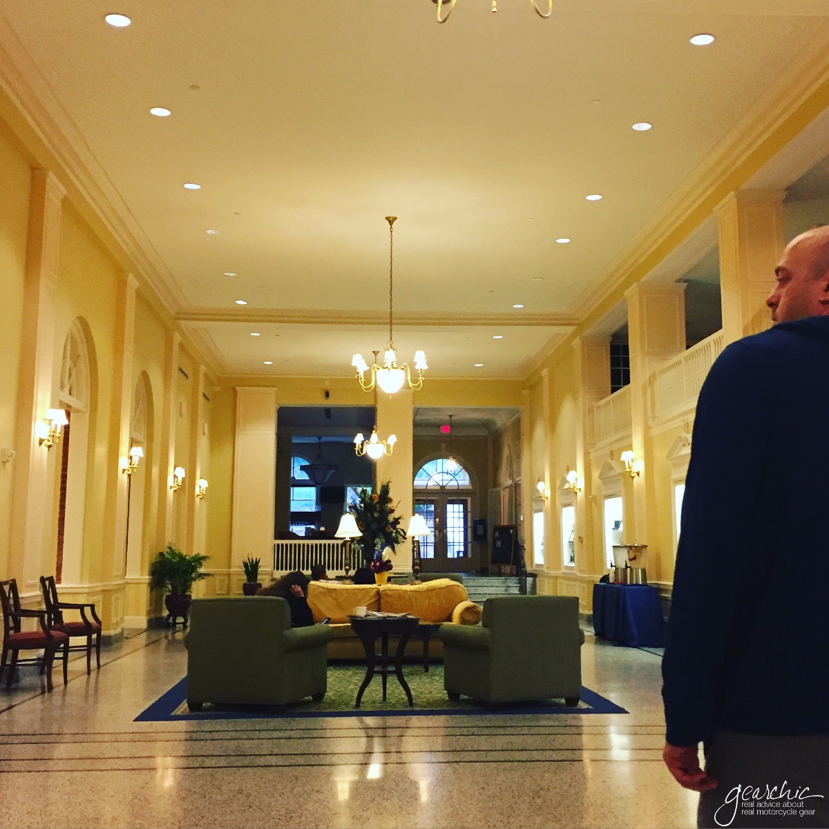
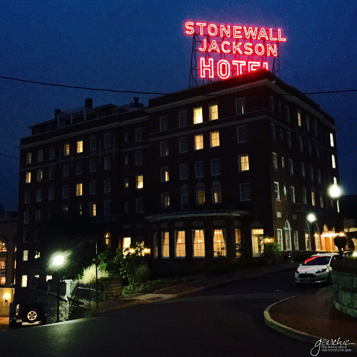
So we headed out and we aimed for Waynesboro, VA. When we stopped to take a look at hotels, we found a room in Staunton, VA at the Stonewall Jackson Hotel. It was beautiful, and we got their Stay 2 Nights and Save Promo. 

Staunton is a really lovely town with a lot of history including an old train station and wonderfully preserved downtown. 

Staunton at night. My husband sure knows how to take photos. 

Staunton at night. My husband sure knows how to take photos. 

Easy parking at the hotel in their garage. I just love how these two look side by side. 

Easy parking at the hotel in their garage. I just love how these two look side by side. 

So we decided to camp out in Staunton and just looked at the maps every day to figure out which way we thought we wanted to go. 

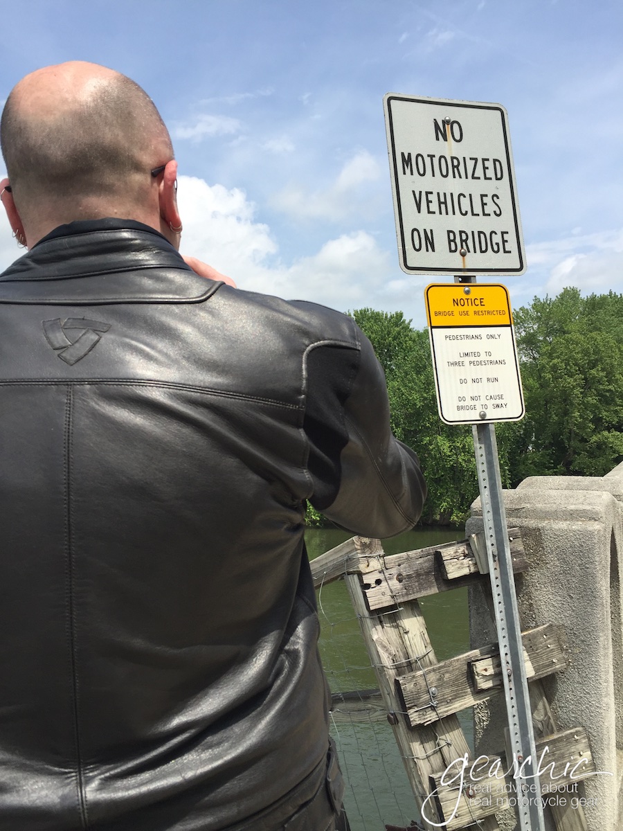
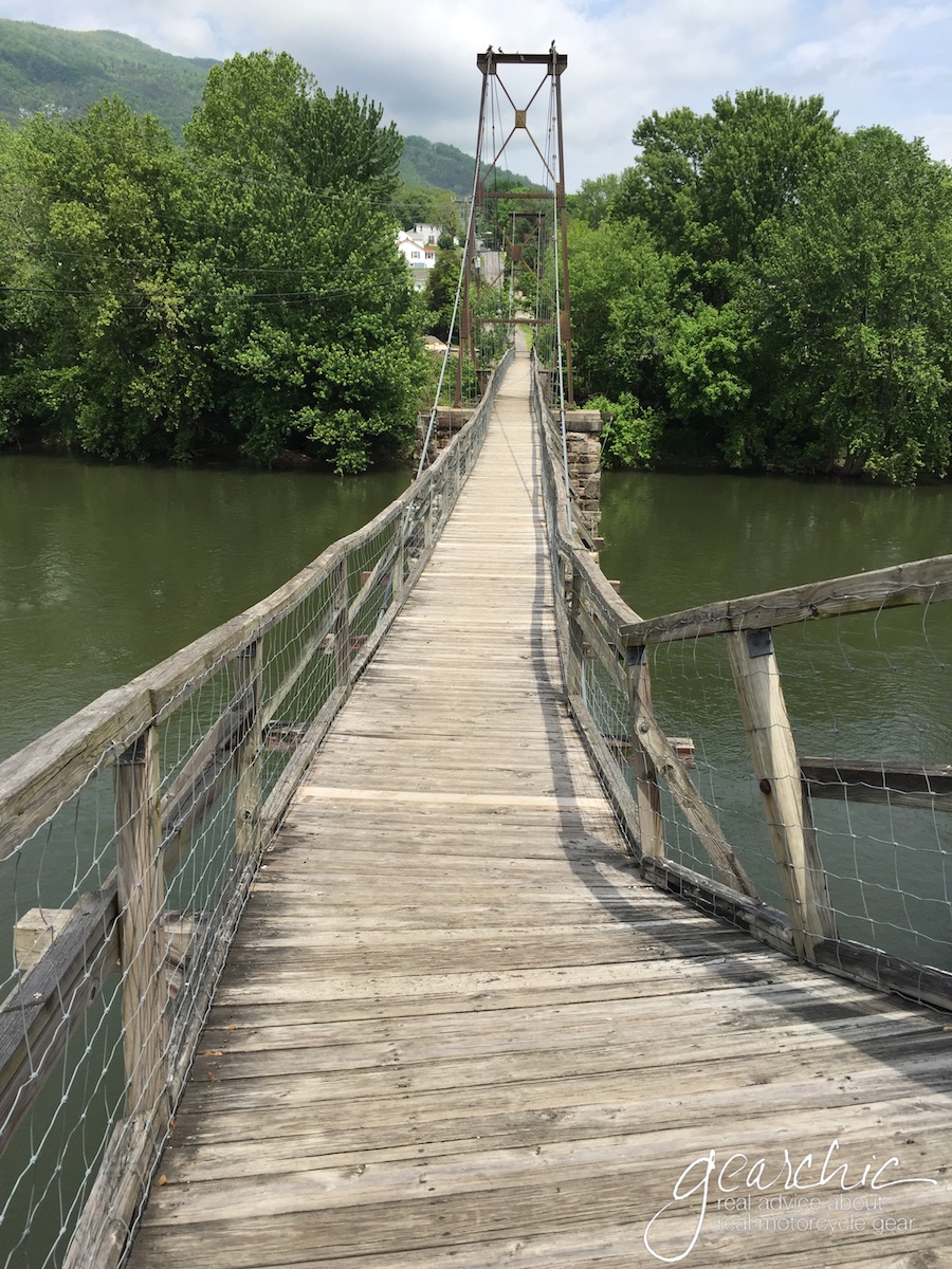
Tuesday was our first day of explorations. The weather was crummy in the early morning so we waited until the rain passed a bit more before heading out. We found some fun scenery including a rickety bridge that you aren't supposed to ride across. So we didn't. 

As we rode off, we found even more scenery, including some horses who didn't seem to mind as we pulled over to take photos next to them. I tried to coax them away from lunch but they just weren't interested. :(

I don't know how, but he manages to get the timing just right on these sometimes. I guess I was stretching...

I don't know how, but he manages to get the timing just right on these sometimes. I guess I was stretching...

I think the horse is looking at us like we're crazy. 

I think the horse is looking at us like we're crazy. 

One of the coolest things we saw a few times were abandoned buildings like this old service station. These photos just don't do this building justice. It was so pretty in person, eerie and stunning at the same time.  

ridereport_wva2 7.jpg
We didn't get to go inside, but I was able to get a photo through the windows. 

We didn't get to go inside, but I was able to get a photo through the windows. 

Evan poses!

Evan poses!

And another abandoned garage. Way creepier. 

And another abandoned garage. Way creepier. 

Since the weather wasn't that cooperative most of the time, we did some very simple routes, nothing fancy. But some of the best riding on this coast lives here: 

Staunton to West Virginia and Back. 

Staunton to West Virginia and Back. 

We were trying to find some cool covered bridges, but we only found this one which we weren't able to actually drive through. It was called Humpback Covered Bridge in Covington. 

So all we could do was take selfies. 

I highly recommend lunch in Marlinton at the Greenbrier Grill. Tasty, inexpensive and outdoor seating. 

We took 39 back mostly, such a fantastic road. I'll warn you, these roads are twisty so should always take those easy if you're not immediately comfortable. I practically live to ride these roads, I just wish they were closer :(

My friend Tamela recommended Route 311, just south of Covington but unfortunately I somehow got us off track and never got to ride it. It also looked amazing. 

The next day we played around 39 and 250 again. 250 is probably my favorite road on the East Coast so far. 

Unfortunately we didn't get video of 250 because of the crappy weather that day, but in case you missed it, here's a short video my husband shot on his GoPro, Swivit Mount and Gimbal. We finally had some clearing weather and was able to get some beautiful shots while on 39 or 84, I can't remember which road this is. It's mixed in with some footage of Skyline drive as well, but there are bits and pieces of WVA in here. 

Getting all the equipment ready to film. If you've never heard of Swivit.com, check them out. Their adjustable mount is unique, and was the first of its kind. 

Getting all the equipment ready to film. If you've never heard of Swivit.com, check them out. Their adjustable mount is unique, and was the first of its kind. 

With the Swivit, he was able to get shots like this one, because you can move the camera on the fly. (We were going maybe 15mph, and there was zero traffic!)

With the Swivit, he was able to get shots like this one, because you can move the camera on the fly. (We were going maybe 15mph, and there was zero traffic!)

 I don't know why but we decided to slab it back from Staunton to Philly on Thursday. Although we had an early start, we took the scenic route up Skyline Drive. Since the hubby had never ridden through it before, we thought we'd take a look! Twas foggy on and off. If you watch the video, the tunnel is at the end.

After a bit of fog, we finally got to some clear parts of the mountain. And yes, the speed limit is 35mph. We were following the limits pretty closely, but it was a very quiet day on Skyline so we were lucky enough to have little or not traffic at times. And no performance awards :)

The coolest stop we made was at Fort Johnson. Such a cool, crazy story from the Civil War. I didn't get to climb the entire trail, but I did get to the first tier. Since moving to an older city such as Philadelphia, I am fascinated and constantly amazed by the history that I encounter everywhere I go. Virginia was no exception. So crazy to think that a war was fought on this mountain, where we now stand and take scenic photos. 

Steps to the first level of trenches. 

Steps to the first level of trenches. 

A long line of trench!

A long line of trench!

We even met some fellow motorcyclists who were passing through. 

We even met some fellow motorcyclists who were passing through. 

And then we had to say goodbye! 

We used our Sena SMH10R's to communicate with eachother the entire week and they performed quite well. I used the Garmin quite a bit, along with my music and I forgot to recharge it one night so it died after a second full day. Just by habit, we recharge our headsets every night but you really don't have to. You should be able to get 2 full days; although we don't have our channels open the entire time. We go back and forth between chatting or keeping the channel open for 10-15 minutes, then back to our own music while I listen for Garmin directions at the same time. 

If you're curious as to how that all worked for me, read my review of the Garmin Zumo 390LM here


Until next time, West Virginia.... until next time..... 

Until next time, West Virginia.... until next time..... 

Bull-It SR4 Flex Women's Riding Jeans

You may have seen these on Revzilla recently. The Bull-It SR4 Flex Women's Riding Jeans offer a full length lining of abrasion resistant material called Covec. I finally had a chance to try them in size 24 and they actually fit me quite well. They still had some room for me in the thighs/butt, so I would say these are fairly bootyfriendly. 

Let me just say that I am NOT a size 24 in any other casual jean, except Uniqlo's skinny stretchy jean. (And only because those were so damn stretchy.)  I normally buy size 27 in other brands, and I have virtually no booty (flat as a table, although I'm working on it). I would probably get these as a Spring/Fall jean but would probably too warm to wear in hot, humid, summer weather. I would stick to mesh pants or mesh leathers instead. I like the plethora of inseam options as well. 

I thought the fit was nice, a straight leg with a slight bootcut, just enough to get over your boot but not a flared leg. The rise was also Mid but not as high as men's jeans. On a bike they didn't feel terribly low in the back, but I could see it being a little too much in a really aggressive riding position. The lining is really warm, but decently breathable. 

In addition to this version, they offer 2 others for women for $149.95-$179.95. Buy them here at Revzilla, and for more details about the company, visit their website