Wouldn't it be neat if you had one map that showed you great places to eat, ride, sleep and in Northern California and other parts of the country? Well, Mad Maps has you covered.
Riding down the Lost Coast
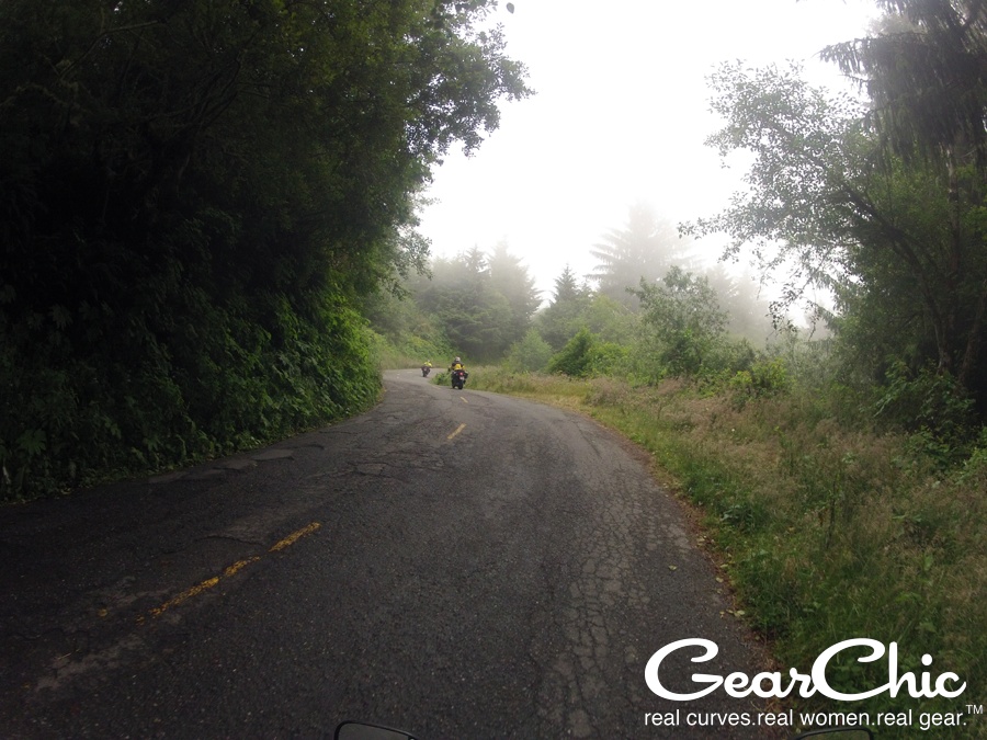 This past weekend, I went riding for the first time with the ladies of Pashnit.com to the Lost Coast along Northern California. I never imagined what I would be up against...
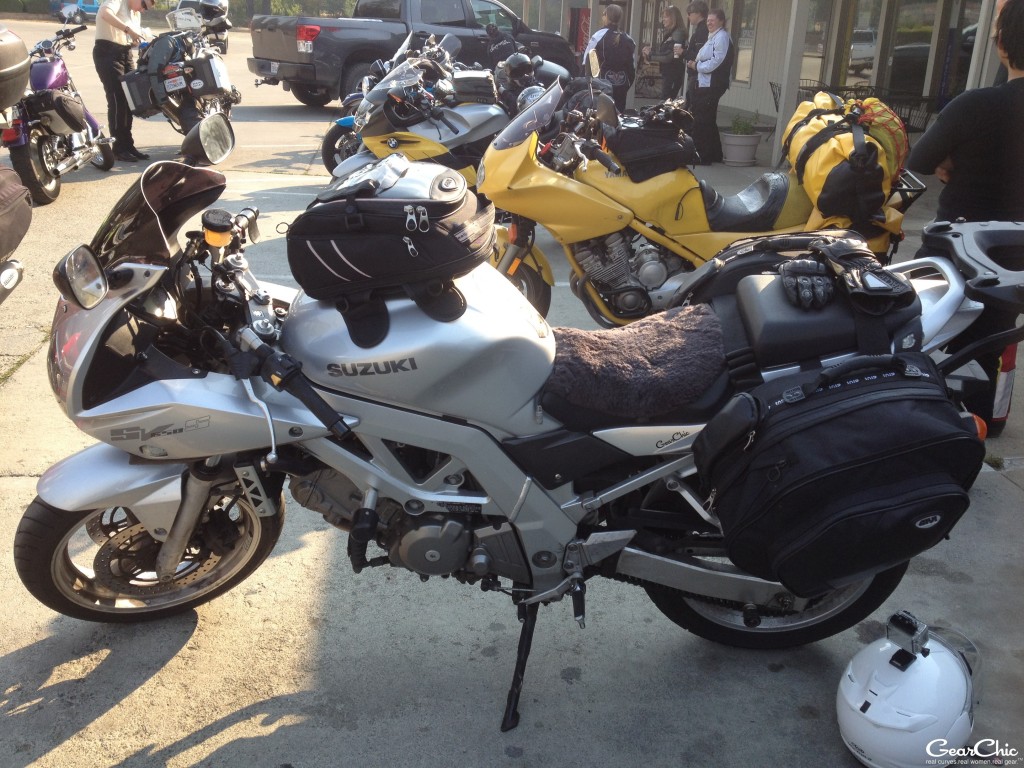
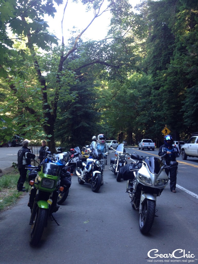
It was my first group ride with that many women (25!) and for that long, 3 nights and 4 days. It's also the furthest north I've ever gone on my motorcycle. These gals get together every year to do a long weekend of riding and they don't just ride to one place, either. We went to 3 different cities altogether.
There's something different about riding with just women, it's not necessarily better than riding with a co-ed group but it's just different. Better in some ways for sure. I really had a great time and can't wait to do another weekend trip with these girls next year.
I'm contemplating trying to get a group of local friends together for an overnight, because I had such a kickass time. I've only got a few photos of day 3 (saturday) and day 4 (sunday) since I had a GoPro malfunction (i.e. me not knowing what setting I needed to use to take photos every 10 seconds) on friday.
Day 1 - Santa Rosa to Weaverville
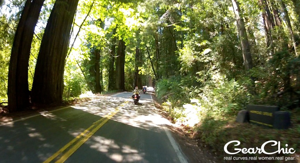
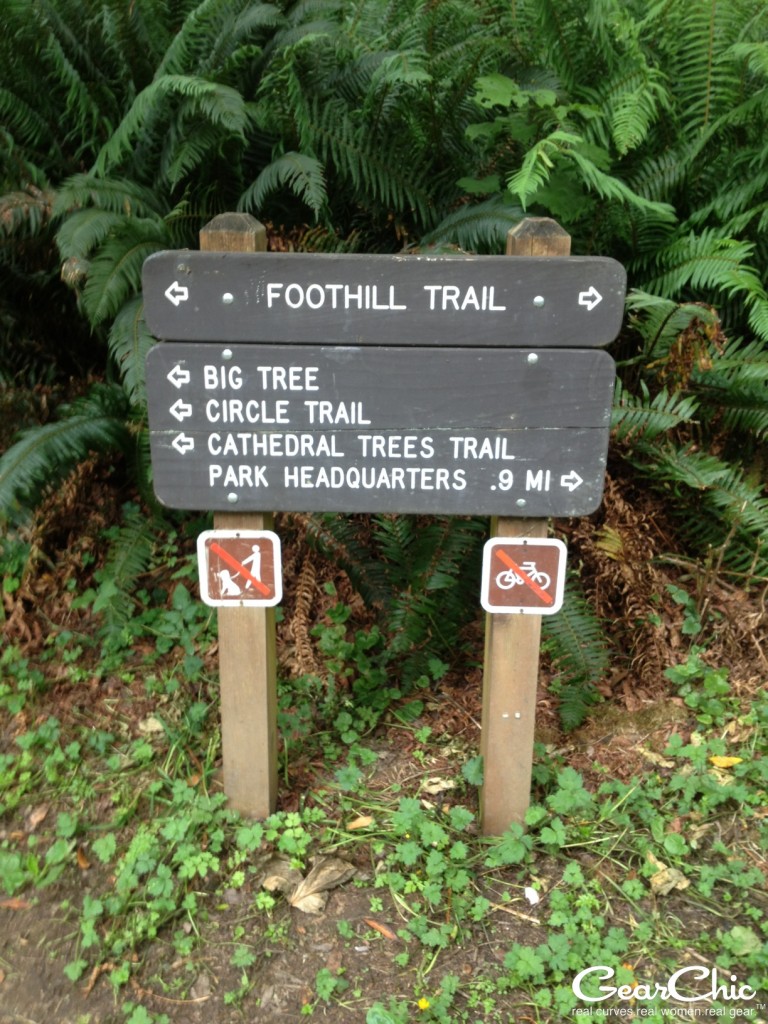
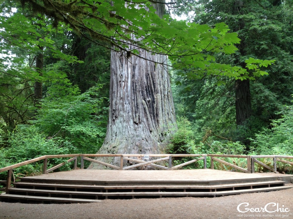
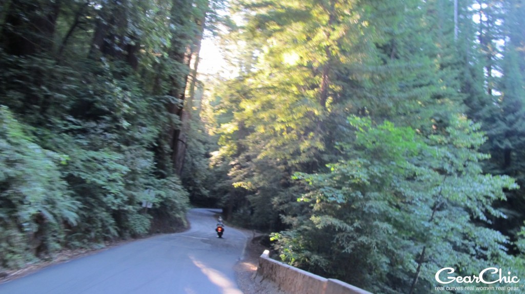
With 350 miles ahead of us, I met a few girls in Santa Rosa on Thursday morning, and then we headed up 101 to meet a few more folks in Laytonville. After Garberville, we pulled off on the Avenue of the Giants. If you've never ridden through the Redwoods before, it's something you don't want to miss. The road was perfectly paved and the traffic was fairly light. There are a few parking lots to pull off and walk down some trails to see them up close. I highly recommend riding or driving this road. Beautiful!
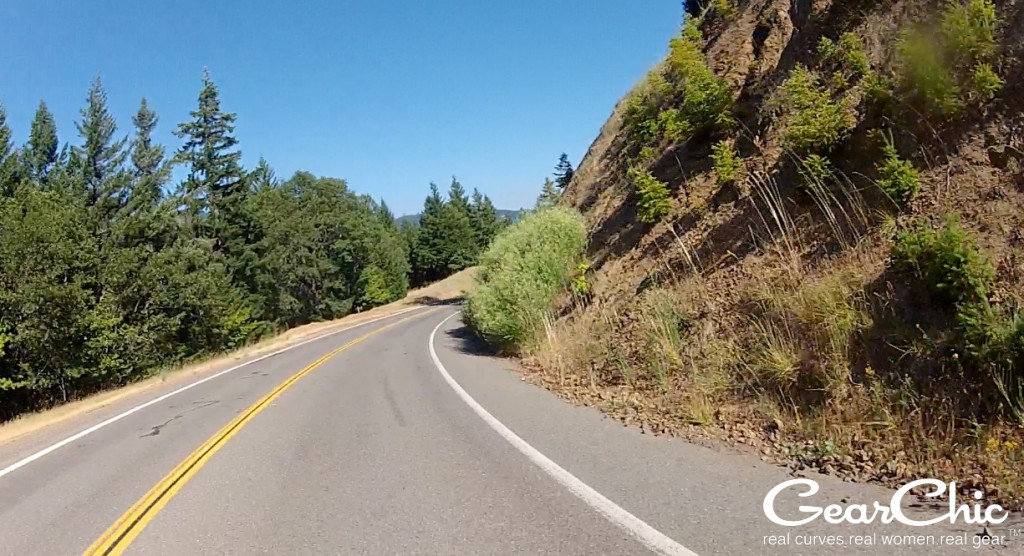
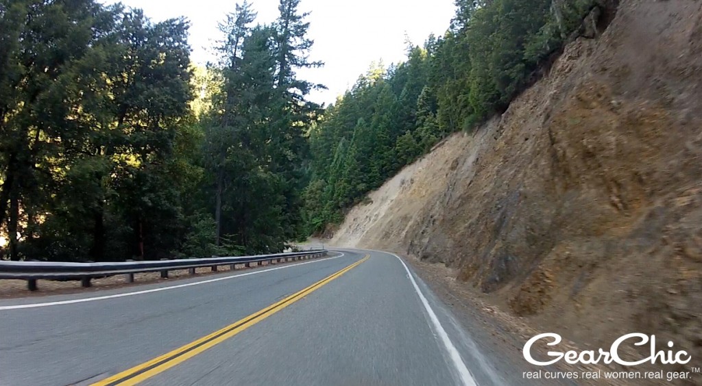
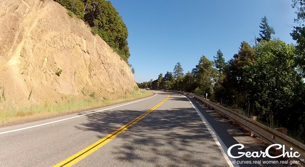
After we visited with the big trees, we continued up 101, stopping quickly in Rio Dell for gas, and then onto 36 East. YES! I've heard so many good things about this road, and to finally ride it was awesome. Well paved, lots of nice moderate twisties and sweepers.
I won't bore you with more of these awesome pics. Sadly, I didn't get any footage of Hwy 3 north, which is another kickass road with more tight twisties than 36.
We stopped briefly in Hayfork for a snack/break and then onward up 3 to 299 North to get to Weaverville, a sleepy little town.
Day 2 - Weaverville to Crescent City
Day 2 started early, with an 830am start after breakfast at 730. We started out north on 299, then north on 3. We stopped in Callahan, a very small (no services, except a small general store/post office) town off 3.
Day 3, Crescent City to Shelter Cove. The Lost Coast.
I had really been looking forward to this part of the trip. But I had no idea what the lost coast was, or where it was, or how amazing it could be! It was miles and miles of goaty goodness. Although most people on sportbikes would never consider riding the roads I went down, I was looking forward to it and I knew I was going to have a great time with my friend Nancy. She had led us on all these incredible roads so far, and I trusted her to take us places that were fun and within our limits.
We never went down a long dirt road, although we did hit a small patch. Nor did we cross any rivers or mud tracks. We just hit some of the most amazing roads the coast has to offer, and more.
It was a foggy, cold start. We started south on Highway 101 and then took exit 765, Newton B Drury Parkway.
As you head down 101, right after you pass Orrick, after Hilton Road, turn off onto the Old State Highway. This was another gem that I also missed on my camera. If you look at the google maps I put together, I highlighted this part in red. I know not everyone will love this road, but if you're up for it, it's well worth the short detour.
Apparently it was a part of the old state highway, so unfortunately it's a little overgrown, goaty and darkish. But, the road is still open because people actually live there! It was a little creepy but oh so fun. We only went ~25mph since it was pretty narrow even though it was a 2 way road. We only ran into a few cars coming along the opposite direction and they were easy to pass. It was twisty, tight and bumpy. What was really cool was seeing these old houses that you knew people were still living in. But how? It was like going back in time.
We then kept on down 101 south and stopped for a tasty lunch in Ferndale. It's a really cute town with antique stores, boutiques and other shops that we didn't have time to check out. Because we had somewhere to go!
From Ferndale, we headed south on Mattole Road. Basically, this road takes you all the way down a good chunk of the lost coast. This time, I had my GoPro ready to go.
Started a little bumpy and then went back and forth between bumpy to smooth, ultra bumpy and then smooth again until we dropped down to the coast.
For some reason, I didn't get any pics from Honeydew to 101 :( :(. I don't know if I forgot to restart the camera, or if my battery died, which sucks because this was SO SO awesome. Switchbacks with elevation! One of the highest decreasing radius turns I've ever ridden. The turn went up this steep hill, so steep that I couldn't see it until I was facing it. At one point I was looking down at the bottom of the turn and I could see the next one because we were going downhill! The part where Mattole Road turns to Bull Creek Flats is soooooo good. If you love tight, twisty turns, you'll love it.

